The Shiningintl 6 band Navigation Satellite Spoofer Board is a compact, high-performance module designed for anti-UAV security in military, police, and industrial sectors. [cite_start]It utilizes satellite signal simulation to broadcast deceptive coordinates, allowing operators to gain control over unauthorized drones.
Key Functional Capabilities
-
Decoy Modes: Enables multiple tactical responses, including course guidance (controlling horizontal movement), expulsion, forced landing, and take-off prohibition.
-
Precision Simulation: Supports real-time and permanent ephemeris modes, with adjustable parameters for motion speed, acceleration, and signal delay.
-
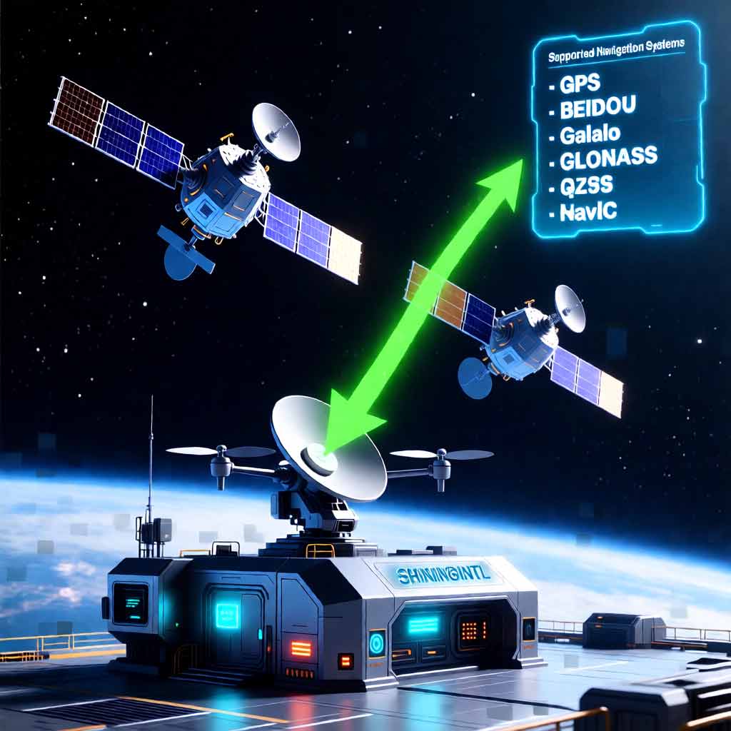
Navigation Support:system Covers 6 frequency bands across all major systems: BDS (B1I), GPS (L1, L2, L5), GLONASS (L1), and Galileo (E1).
Product Description
Product Introduction
The Shiningintl navigation satellite GNSS 6 band spoofing board is applicable to C-UAS Counter-Drone and anti-FPV scenarios in the fields of petroleum protection, petrochemical, electric power, police, and military industry. It covers navigation system: GPS, Beidou,GLONASS and GALILEO system.
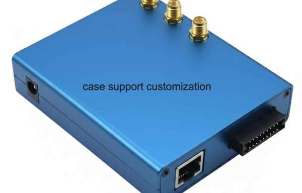
The board is compact, light-weight, easy to use, and reliable in function and performance, which is convenient for users to integrate quickly. Based on the navigation satellite signal simulation technology, the board broadcasts the simulated satellite signal consistent with the navigation satellite signal by simulating the in-orbit navigation satellite signal. After the UAV receives the analog satellite signal sent by the equipment, it uses the analog satellite signal to locate and output the corresponding position. Various decoy modes for the unmanned aerial vehicle can be realized, including course guidance, expulsion, forced landing, rapid crash, and the like;
Product Features
- Support the signal receiving and simulation transmitting functions of the common frequency points of the four major global navigation satellite systems;
- It can carry out navigation decoy for UAV relying on satellite navigation and positioning system, and realize UAV forced landing, course guidance, prohibition of take-off, navigation satellite signal interference and other objectives.
- Support the external DF module to identify the target azimuth, and use the course guidance function to control the horizontal forward, backward, left and right movement of the target UAV.
- Support external command to control arbitrary navigation signal combination transmission;
- Support external commands to set any position coordinates (longitude, latitude, altitude), or built-in fixed coordinates;
- Support external instructions to set signal delay, motion speed, acceleration and other simulation parameters;
- Support external commands to set preset tracks such as linear motion and circular motion;
- Support external filling trajectory, and the board calculates and outputs the corresponding navigation satellite signal according to the input information;
- Support real-time ephemeris mode and permanent ephemeris mode;
- Support the setting of preset coordinates for power-on automatic transmission;
- Support satellite navigation signal suppression jamming output;
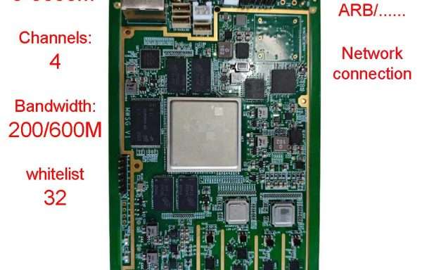
- Provide serial port secondary development control interface and network secondary development control interface;
Main Technical Indicators
- Technical indicators
- Support GPS, BDS, GLONASS, Galileo navigation satellite signal simulation, signal output frequency band and channel quantity are as follows.
| Serial number | Satellite system | Frequency band | Number of channels |
| 1 | BDS | B1I | 16 |
| 2 | GPS | L1 C/A | 16 |
| 3 | GPS | L2 | 16 |
| 4 | GPS | L5 | 16 |
| 5 | GLONASS | L1 | 16 |
| 6 | GALILEO | E1 | 16 |
- Navigation satellite signal receiving frequency: BDS-B1, GPS-L1/L2/L5, GLONASS-L1, Galileo-E1;
- Maximum transmitting power: ≥ 10dBm;
- Power adjustment range: 80dB, minimum resolution: 1dB
- Power-on startup time: 40 s;
- Navigation satellite signal synchronization time: < 180s;
- Form factor, interface definition
- Product size (excluding connectors): 120mm (L) × 100mm (W)
- Weight: < 150g
- Power sourc:
Input voltage: DC 12 ~ 28V
Power consumption: ≤ 12 W.
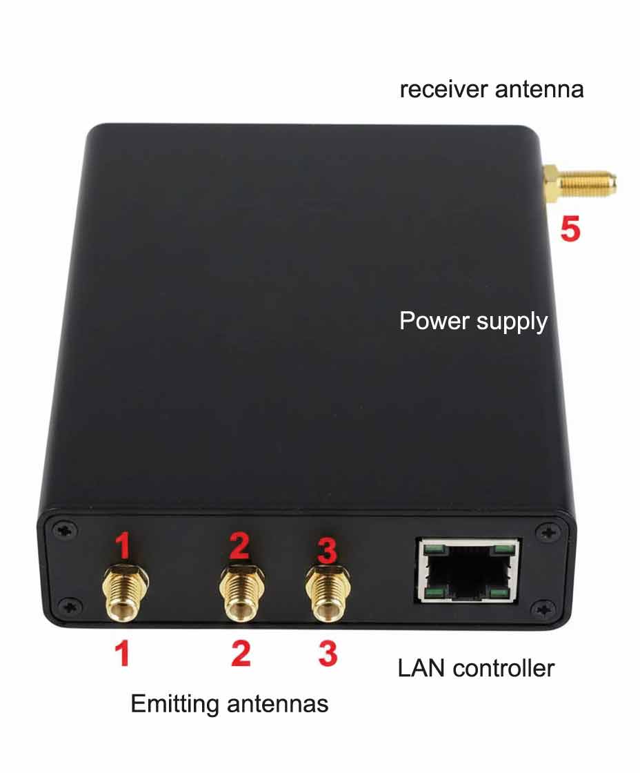
- Definition of board interface:
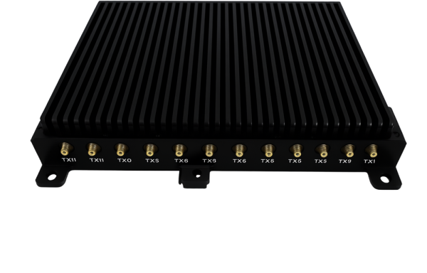
Signal receiving port: SMA, receiving navigation satellite signals, supporting DC + 5V feed;
Signal transmitting port: SMA, transmitting navigation satellite signal;
Power input interface: XH2.5-2P male socket
Serial communication interface: HC-ZH-4PWT, RS422 serial port
Network port communication interface: RJ45
- Work environment
Working temperature: -40 ℃ ~ + 60 ℃
Storage temperature: -40 ℃ ~ + 80 ℃
for customization function of spoofer board, please contact SHININGINTL.